Wicklesham Farm
Introduction
The photograph on this page of Wicklesham Farm by Vieve Forward as part of the Geograph project.
The Geograph project started in 2005 with the aim of publishing, organising and preserving representative images for every square kilometre of Great Britain, Ireland and the Isle of Man.

There are currently over 7.5m images from over 14,400 individuals and you can help contribute to the project by visiting https://www.geograph.org.uk
Wicklesham Farm
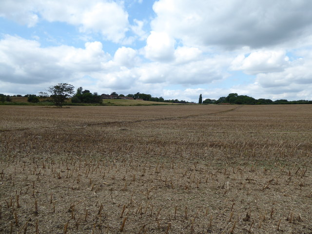
Image: © Vieve Forward Taken: 2 Aug 2019
The public footpath in the picture leads to an extant bridge over the disused Faringdon branch line, the top of which can just be made out in the right of the picture. The line joined the Great Western mainline at Uffington. It was opened in 1864 and the passenger service was withdrawn in 1951. Freight traffic continued until the Beeching cuts in 1964. https://en.wikipedia.org/wiki/Faringdon_branch
Images are licensed for reuse under creativecommons.org/licenses/by-sa/2.0
Image Location


Leaflet Map data © OpenStreetMap
Latitude
51.644464
Longitude
-1.570441