Derelict former shop in Pencader
Introduction
The photograph on this page of Derelict former shop in Pencader by Jaggery as part of the Geograph project.
The Geograph project started in 2005 with the aim of publishing, organising and preserving representative images for every square kilometre of Great Britain, Ireland and the Isle of Man.

There are currently over 7.5m images from over 14,400 individuals and you can help contribute to the project by visiting https://www.geograph.org.uk
Derelict former shop in Pencader
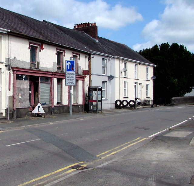
Image: © Jaggery Taken: 1 Aug 2019
A BT phonebox is at the edge of the former shop on the west side of the B4459, the main road through Pencader. On August 1st 2019, the unnamed former shop looks little changed from its appearance in a June 2011 Google Street View.
Images are licensed for reuse under creativecommons.org/licenses/by-sa/2.0
Image Location
Latitude
52.00297
Longitude
-4.265129