Clifford and Farleigh Terraces
Introduction
The photograph on this page of Clifford and Farleigh Terraces by Evelyn Simak as part of the Geograph project.
The Geograph project started in 2005 with the aim of publishing, organising and preserving representative images for every square kilometre of Great Britain, Ireland and the Isle of Man.

There are currently over 7.5m images from over 14,400 individuals and you can help contribute to the project by visiting https://www.geograph.org.uk
Clifford and Farleigh Terraces
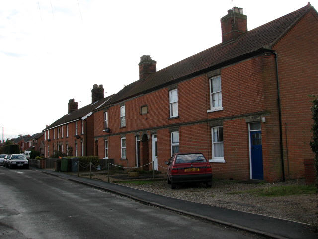
Image: © Evelyn Simak Taken: 28 Nov 2007
At the end of Yaxleys Lane near the junction with Cawston Road, these terraces were built in 1903 and 1904, respectively.
Images are licensed for reuse under creativecommons.org/licenses/by-sa/2.0
Image Location
Latitude
52.792788
Longitude
1.245941