Sirhowy Valley near Tredegar
Introduction
The photograph on this page of Sirhowy Valley near Tredegar by Robin Drayton as part of the Geograph project.
The Geograph project started in 2005 with the aim of publishing, organising and preserving representative images for every square kilometre of Great Britain, Ireland and the Isle of Man.

There are currently over 7.5m images from over 14,400 individuals and you can help contribute to the project by visiting https://www.geograph.org.uk
Sirhowy Valley near Tredegar
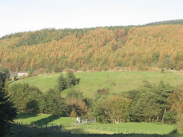
Image: © Robin Drayton Taken: 4 Nov 2006
The River Sirhowy runs through the foreground trees. The main field beyond this is a landscaped coal tip. Note that contours are not shown for this field http://getamap.ordnancesurvey.co.uk/getamap/frames.htm?mapAction=gaz&gazName=g&gazString=SO155065 .
Images are licensed for reuse under creativecommons.org/licenses/by-sa/2.0
Image Location
Latitude
51.754991
Longitude
-3.228484