Llwybr yn Llanharri / Path in Llanharry
Introduction
The photograph on this page of Llwybr yn Llanharri / Path in Llanharry by Alan Richards as part of the Geograph project.
The Geograph project started in 2005 with the aim of publishing, organising and preserving representative images for every square kilometre of Great Britain, Ireland and the Isle of Man.

There are currently over 7.5m images from over 14,400 individuals and you can help contribute to the project by visiting https://www.geograph.org.uk
Llwybr yn Llanharri / Path in Llanharry
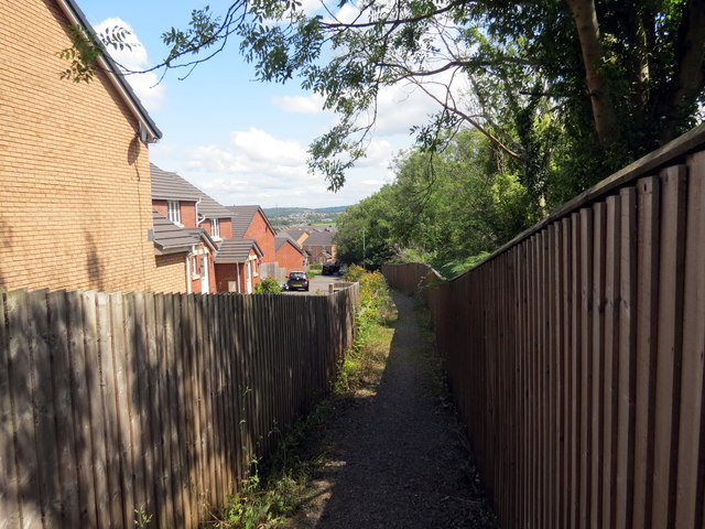
Image: © Alan Richards Taken: 28 Jul 2019
Llwybr cyhoeddus yn cyrraedd ystad o dai yn Llanharri. A public footpath approaching a housing estate in Llanharry (trans. church of Harri).
Images are licensed for reuse under creativecommons.org/licenses/by-sa/2.0
Image Location
Latitude
51.512204
Longitude
-3.420522