The Rothwell Greenway south of Leadwell Lane
Introduction
The photograph on this page of The Rothwell Greenway south of Leadwell Lane by Stephen Craven as part of the Geograph project.
The Geograph project started in 2005 with the aim of publishing, organising and preserving representative images for every square kilometre of Great Britain, Ireland and the Isle of Man.

There are currently over 7.5m images from over 14,400 individuals and you can help contribute to the project by visiting https://www.geograph.org.uk
The Rothwell Greenway south of Leadwell Lane
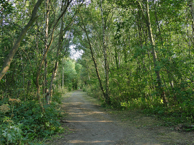
Image: © Stephen Craven Taken: 23 Jul 2019
The route runs along a wooded embankment above surrounding farmland at this point.
Images are licensed for reuse under creativecommons.org/licenses/by-sa/2.0
Image Location
Latitude
53.742762
Longitude
-1.503865