Darwin Green taking shape
Introduction
The photograph on this page of Darwin Green taking shape by Hugh Venables as part of the Geograph project.
The Geograph project started in 2005 with the aim of publishing, organising and preserving representative images for every square kilometre of Great Britain, Ireland and the Isle of Man.

There are currently over 7.5m images from over 14,400 individuals and you can help contribute to the project by visiting https://www.geograph.org.uk
Darwin Green taking shape
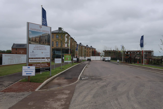
Image: © Hugh Venables Taken: 13 Jun 2019
The ground was stripped in 2013 but capacity constraints meant other areas were prioritised for building. It was reckoned house prices would go up in Cambridge so it was OK to wait before building the houses. Logic that has indeed worked for the house builder, if not for those wanting a house in the intervening six years.
Images are licensed for reuse under creativecommons.org/licenses/by-sa/2.0
Image Location
Latitude
52.223691
Longitude
0.097516