Ruin near South Healey Farm
Introduction
The photograph on this page of Ruin near South Healey Farm by Oliver Dixon as part of the Geograph project.
The Geograph project started in 2005 with the aim of publishing, organising and preserving representative images for every square kilometre of Great Britain, Ireland and the Isle of Man.

There are currently over 7.5m images from over 14,400 individuals and you can help contribute to the project by visiting https://www.geograph.org.uk
Ruin near South Healey Farm
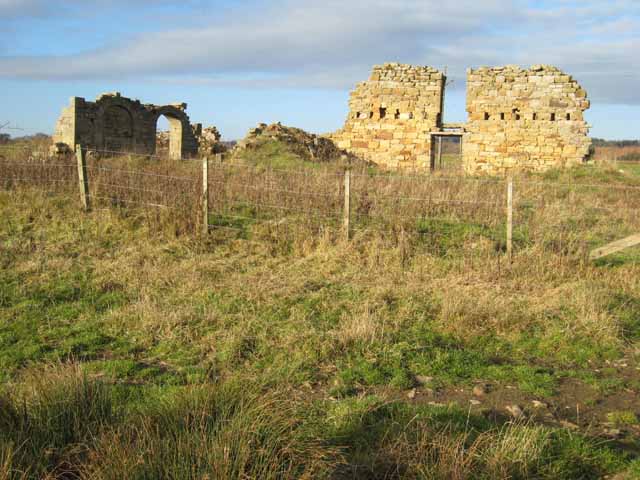
Image: © Oliver Dixon Taken: 23 Nov 2007
The archway hints at an ecclesiastical origin; in Medieval times, the area round Nunnykirk was a grange of the Cistercian Newminster Abbey at Morpeth. The tower of the grange was located at NZ080920 but no trace remains.
Images are licensed for reuse under creativecommons.org/licenses/by-sa/2.0
Image Location
Latitude
55.223782
Longitude
-1.875627