Ravensthorpe church
Introduction
The photograph on this page of Ravensthorpe church by Philip Halling as part of the Geograph project.
The Geograph project started in 2005 with the aim of publishing, organising and preserving representative images for every square kilometre of Great Britain, Ireland and the Isle of Man.

There are currently over 7.5m images from over 14,400 individuals and you can help contribute to the project by visiting https://www.geograph.org.uk
Ravensthorpe church
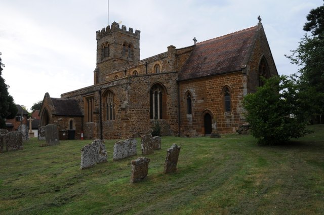
Image: © Philip Halling Taken: 17 Jul 2019
Ravensthorpe church is dedicated to St Denys, however the historic England listing also states it is also known as Church of St. Dionysius. The church is II* listed, see: https://historicengland.org.uk/listing/the-list/list-entry/1227982 The church is situated on the boundary between two grid squares.
Images are licensed for reuse under creativecommons.org/licenses/by-sa/2.0
Image Location
Latitude
52.327163
Longitude
-1.018299