Waymarkers in Watergate Forest Park
Introduction
The photograph on this page of Waymarkers in Watergate Forest Park by Oliver Dixon as part of the Geograph project.
The Geograph project started in 2005 with the aim of publishing, organising and preserving representative images for every square kilometre of Great Britain, Ireland and the Isle of Man.

There are currently over 7.5m images from over 14,400 individuals and you can help contribute to the project by visiting https://www.geograph.org.uk
Waymarkers in Watergate Forest Park
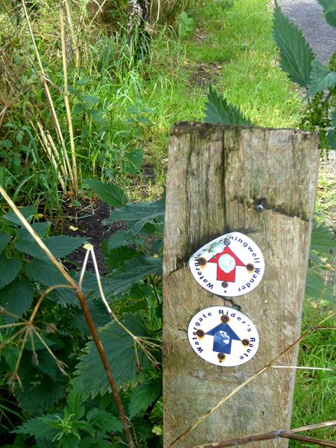
Image: © Oliver Dixon Taken: 24 Jul 2019
The waymarkers refer to two of the three waymarked trails in the Watergate Forest Park - the 4.7 km Watergate and Washingwell Wander, for walkers and the 5.4 km Watergate Rider's Route which is also accessible for horse riders and cyclists.
Images are licensed for reuse under creativecommons.org/licenses/by-sa/2.0
Image Location
Latitude
54.939717
Longitude
-1.641122