Byway to Buck's Hill
Introduction
The photograph on this page of Byway to Buck's Hill by Oliver Dixon as part of the Geograph project.
The Geograph project started in 2005 with the aim of publishing, organising and preserving representative images for every square kilometre of Great Britain, Ireland and the Isle of Man.

There are currently over 7.5m images from over 14,400 individuals and you can help contribute to the project by visiting https://www.geograph.org.uk
Byway to Buck's Hill
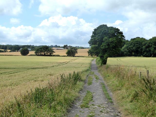
Image: © Oliver Dixon Taken: 24 Jul 2019
The byway leads between fields of wheat. Marshall Lands Farm can be seen in the distance.
Images are licensed for reuse under creativecommons.org/licenses/by-sa/2.0
Image Location
Latitude
54.937541
Longitude
-1.665958