Cider Farm, Backwell Common
Introduction
The photograph on this page of Cider Farm, Backwell Common by Derek Harper as part of the Geograph project.
The Geograph project started in 2005 with the aim of publishing, organising and preserving representative images for every square kilometre of Great Britain, Ireland and the Isle of Man.

There are currently over 7.5m images from over 14,400 individuals and you can help contribute to the project by visiting https://www.geograph.org.uk
Cider Farm, Backwell Common
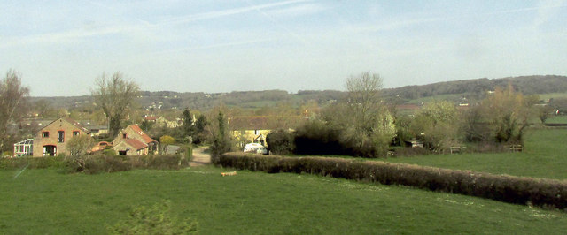
Image: © Derek Harper Taken: 1 Apr 2019
See also Image, also taken from the main railway line. The C17 farmhouse, in the centre, is listed https://historicengland.org.uk/listing/the-list/list-entry/1129807 . Footpath LA2 36/30 runs alongside the hedge in the foreground and between the farm buildings.
Images are licensed for reuse under creativecommons.org/licenses/by-sa/2.0
Image Location
Latitude
51.423094
Longitude
-2.736312