Wheat field, Lidlington
Introduction
The photograph on this page of Wheat field, Lidlington by Peter S as part of the Geograph project.
The Geograph project started in 2005 with the aim of publishing, organising and preserving representative images for every square kilometre of Great Britain, Ireland and the Isle of Man.

There are currently over 7.5m images from over 14,400 individuals and you can help contribute to the project by visiting https://www.geograph.org.uk
Wheat field, Lidlington
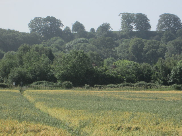
Image: © Peter S Taken: 29 Jun 2019
Part of the Marston Vale Timberland Trail between Lidlington and Stewartby. Jackdaw Hill is seen in the background.
Images are licensed for reuse under creativecommons.org/licenses/by-sa/2.0
Image Location
Latitude
52.038545
Longitude
-0.554155