Stockton High Street
Introduction
The photograph on this page of Stockton High Street by Graham Robson as part of the Geograph project.
The Geograph project started in 2005 with the aim of publishing, organising and preserving representative images for every square kilometre of Great Britain, Ireland and the Isle of Man.

There are currently over 7.5m images from over 14,400 individuals and you can help contribute to the project by visiting https://www.geograph.org.uk
Stockton High Street
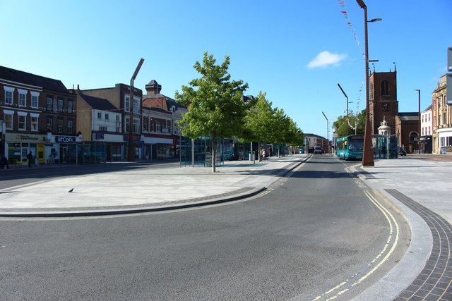
Image: © Graham Robson Taken: 6 Jul 2019
The roadway on the wide high street has been split by the formation of a central paved island which contains several bus stops.
Images are licensed for reuse under creativecommons.org/licenses/by-sa/2.0
Image Location
Latitude
54.565445
Longitude
-1.312674