Farmland south-west of Llanafan-Fawr in Powys
Introduction
The photograph on this page of Farmland south-west of Llanafan-Fawr in Powys by Roger Kidd as part of the Geograph project.
The Geograph project started in 2005 with the aim of publishing, organising and preserving representative images for every square kilometre of Great Britain, Ireland and the Isle of Man.

There are currently over 7.5m images from over 14,400 individuals and you can help contribute to the project by visiting https://www.geograph.org.uk
Farmland south-west of Llanafan-Fawr in Powys
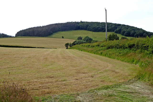
Image: © Roger Kidd Taken: 7 Jul 2019
Grass cut and collected. All that is needed now is a bit of rain and the cattle or sheep can be let loose.
Images are licensed for reuse under creativecommons.org/licenses/by-sa/2.0
Image Location
Latitude
52.186748
Longitude
-3.514775