East along Ashvale, Tredegar
Introduction
The photograph on this page of East along Ashvale, Tredegar by Jaggery as part of the Geograph project.
The Geograph project started in 2005 with the aim of publishing, organising and preserving representative images for every square kilometre of Great Britain, Ireland and the Isle of Man.

There are currently over 7.5m images from over 14,400 individuals and you can help contribute to the project by visiting https://www.geograph.org.uk
East along Ashvale, Tredegar
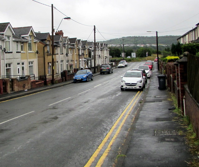
Image: © Jaggery Taken: 19 Jul 2019
Looking east along the road named Ashvale towards the A4048 in the Ashvale area of Tredegar. The road here is about 335 metres (1,100 ft) above mean sea level.
Images are licensed for reuse under creativecommons.org/licenses/by-sa/2.0
Image Location
Latitude
51.784203
Longitude
-3.255083