Newport Road bus stop and shelter, Trethomas
Introduction
The photograph on this page of Newport Road bus stop and shelter, Trethomas by Jaggery as part of the Geograph project.
The Geograph project started in 2005 with the aim of publishing, organising and preserving representative images for every square kilometre of Great Britain, Ireland and the Isle of Man.

There are currently over 7.5m images from over 14,400 individuals and you can help contribute to the project by visiting https://www.geograph.org.uk
Newport Road bus stop and shelter, Trethomas
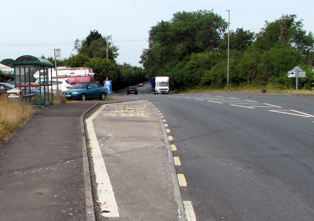
Image: © Jaggery Taken: 17 Jul 2019
This stop alongside the A468 Newport Road at the western edge of Trethomas near Bedwas is for buses to Caerphilly town centre and bus station. The grey back of the Trethomas boundary sign is on the right.
Images are licensed for reuse under creativecommons.org/licenses/by-sa/2.0
Image Location
Latitude
51.590393
Longitude
-3.189826