Victoria Bowling Club
Introduction
The photograph on this page of Victoria Bowling Club by Thomas Nugent as part of the Geograph project.
The Geograph project started in 2005 with the aim of publishing, organising and preserving representative images for every square kilometre of Great Britain, Ireland and the Isle of Man.

There are currently over 7.5m images from over 14,400 individuals and you can help contribute to the project by visiting https://www.geograph.org.uk
Victoria Bowling Club
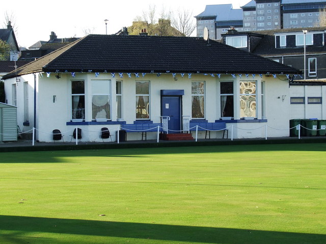
Image: © Thomas Nugent Taken: 23 Nov 2007
At the top of Ratho Street. Opened in June 1897. More information here http://homepage.ntlworld.com/ian.mca/latestnews.htm
Images are licensed for reuse under creativecommons.org/licenses/by-sa/2.0
Image Location
Latitude
55.941512
Longitude
-4.734745