Path through an oil seed rape crop near Ryton
Introduction
The photograph on this page of Path through an oil seed rape crop near Ryton by Jeremy Bolwell as part of the Geograph project.
The Geograph project started in 2005 with the aim of publishing, organising and preserving representative images for every square kilometre of Great Britain, Ireland and the Isle of Man.

There are currently over 7.5m images from over 14,400 individuals and you can help contribute to the project by visiting https://www.geograph.org.uk
Path through an oil seed rape crop near Ryton
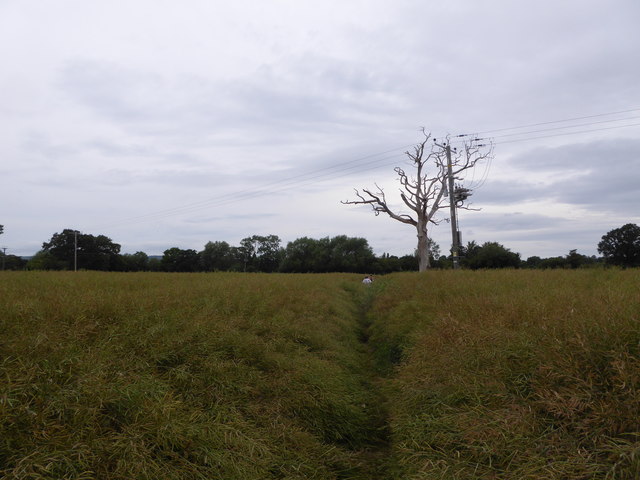
Image: © Jeremy Bolwell Taken: 10 Jul 2019
Hard path to run.
Images are licensed for reuse under creativecommons.org/licenses/by-sa/2.0
Image Location
Latitude
52.62198
Longitude
-2.757307