Grazing cattle east of Killeen Bridge
Introduction
The photograph on this page of Grazing cattle east of Killeen Bridge by Eric Jones as part of the Geograph project.
The Geograph project started in 2005 with the aim of publishing, organising and preserving representative images for every square kilometre of Great Britain, Ireland and the Isle of Man.

There are currently over 7.5m images from over 14,400 individuals and you can help contribute to the project by visiting https://www.geograph.org.uk
Grazing cattle east of Killeen Bridge
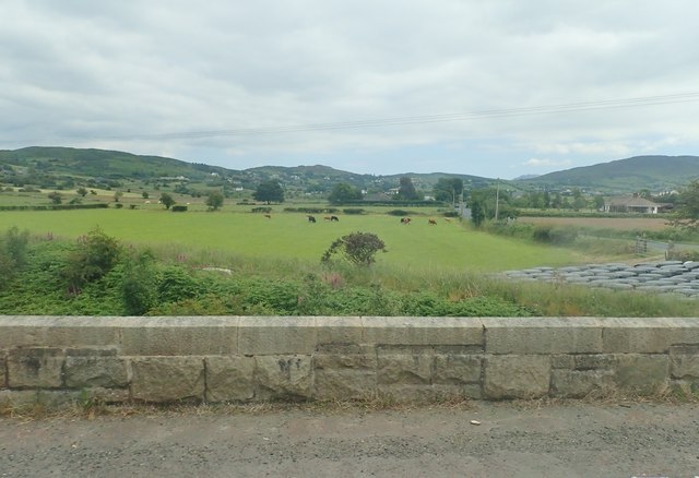
Image: © Eric Jones Taken: 3 Jul 2019
The bridge spans the Belfast to Dublin railway, The hills in the background which on their east side overlook the Carlingford Lough are the eastern quadrant of the Ring of Gullion.
Images are licensed for reuse under creativecommons.org/licenses/by-sa/2.0
Image Location
Latitude
54.131254
Longitude
-6.342001