Meadow Lane: the site of Trent Bridge Quays
Introduction
The photograph on this page of Meadow Lane: the site of Trent Bridge Quays by John Sutton as part of the Geograph project.
The Geograph project started in 2005 with the aim of publishing, organising and preserving representative images for every square kilometre of Great Britain, Ireland and the Isle of Man.

There are currently over 7.5m images from over 14,400 individuals and you can help contribute to the project by visiting https://www.geograph.org.uk
Meadow Lane: the site of Trent Bridge Quays
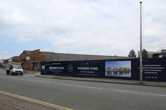
Image: © John Sutton Taken: 15 Jul 2019
A brownfield site between Meadow Lane and the River Trent is to be developed with "95 exceptional residencies" (houses and flats, presumably).
Images are licensed for reuse under creativecommons.org/licenses/by-sa/2.0
Image Location
Latitude
52.941476
Longitude
-1.136894