Disused public conveniences, Whitworth Road, Swindon (2)
Introduction
The photograph on this page of Disused public conveniences, Whitworth Road, Swindon (2) by Brian Robert Marshall as part of the Geograph project.
The Geograph project started in 2005 with the aim of publishing, organising and preserving representative images for every square kilometre of Great Britain, Ireland and the Isle of Man.

There are currently over 7.5m images from over 14,400 individuals and you can help contribute to the project by visiting https://www.geograph.org.uk
Disused public conveniences, Whitworth Road, Swindon (2)
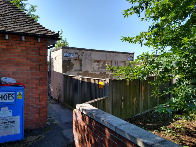
Image: © Brian Robert Marshall Taken: 16 Jul 2019
These conveniences have been out of service for a long time. Owned by the local council they are to be demolished in the near future according to reports. The brick building to the left is an electricity substation.
Images are licensed for reuse under creativecommons.org/licenses/by-sa/2.0
Image Location
Latitude
51.583035
Longitude
-1.798331