Manse Brae Rosemarkie
Introduction
The photograph on this page of Manse Brae Rosemarkie by valenta as part of the Geograph project.
The Geograph project started in 2005 with the aim of publishing, organising and preserving representative images for every square kilometre of Great Britain, Ireland and the Isle of Man.

There are currently over 7.5m images from over 14,400 individuals and you can help contribute to the project by visiting https://www.geograph.org.uk
Manse Brae Rosemarkie
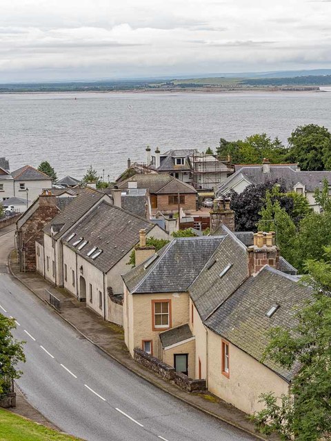
Image: © valenta Taken: 12 Jul 2019
Looking over the A832 Manse Brae towards Fort George on the far side of the Moray Firth
Images are licensed for reuse under creativecommons.org/licenses/by-sa/2.0
Image Location
Latitude
57.589845
Longitude
-4.117433