Citadel Place, Ayr, South Ayrshire
Introduction
The photograph on this page of Citadel Place, Ayr, South Ayrshire by Mark S as part of the Geograph project.
The Geograph project started in 2005 with the aim of publishing, organising and preserving representative images for every square kilometre of Great Britain, Ireland and the Isle of Man.

There are currently over 7.5m images from over 14,400 individuals and you can help contribute to the project by visiting https://www.geograph.org.uk
Citadel Place, Ayr, South Ayrshire
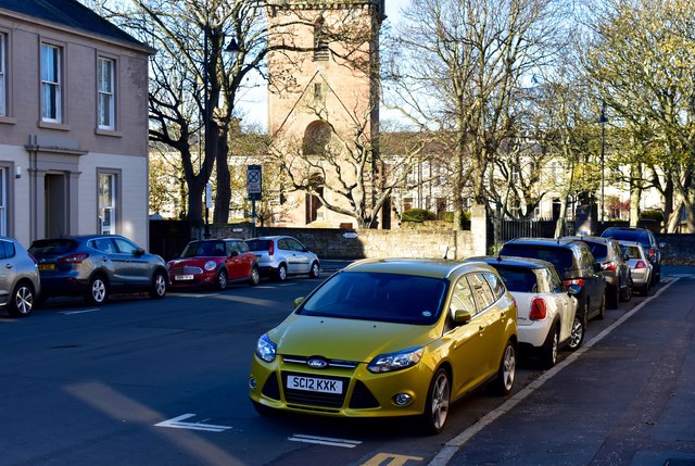
Image: © Mark S Taken: 27 Oct 2018
With Eglinton Terrace behind St. John’s tower. St. John’s tower is what remains of Ayr’s original parish church, built in the late 12th century.
Images are licensed for reuse under creativecommons.org/licenses/by-sa/2.0
Image Location
Latitude
55.463668
Longitude
-4.636369