Path Junction
Introduction
The photograph on this page of Path Junction by Guy Wareham as part of the Geograph project.
The Geograph project started in 2005 with the aim of publishing, organising and preserving representative images for every square kilometre of Great Britain, Ireland and the Isle of Man.

There are currently over 7.5m images from over 14,400 individuals and you can help contribute to the project by visiting https://www.geograph.org.uk
Path Junction
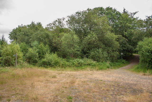
Image: © Guy Wareham Taken: 13 Jul 2019
The Ruby Ride and Pegasus Trail turn left onto a Permissive Bridleway, cyclists and walkers are allowed to take the right hand path directly to Halwill Junction.
Images are licensed for reuse under creativecommons.org/licenses/by-sa/2.0
Image Location
Latitude
50.790069
Longitude
-4.217889