Track to Marsh Farm
Introduction
The photograph on this page of Track to Marsh Farm by Nigel Mykura as part of the Geograph project.
The Geograph project started in 2005 with the aim of publishing, organising and preserving representative images for every square kilometre of Great Britain, Ireland and the Isle of Man.

There are currently over 7.5m images from over 14,400 individuals and you can help contribute to the project by visiting https://www.geograph.org.uk
Track to Marsh Farm
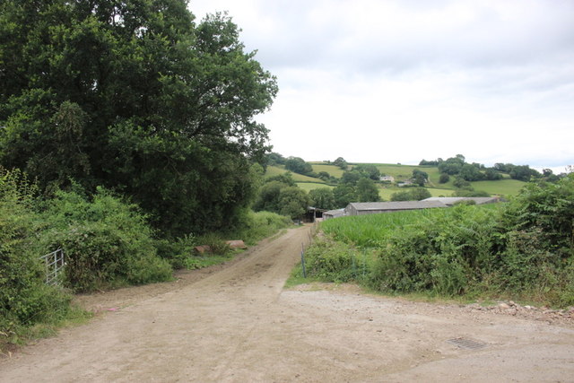
Image: © Nigel Mykura Taken: 13 Jul 2019
This is the main access track to the farm which is on the Studhayes Road just south of the Corry Brook.
Images are licensed for reuse under creativecommons.org/licenses/by-sa/2.0
Image Location
Latitude
50.789045
Longitude
-3.053594