Wheat field at Hall Farm
Introduction
The photograph on this page of Wheat field at Hall Farm by Graham Robson as part of the Geograph project.
The Geograph project started in 2005 with the aim of publishing, organising and preserving representative images for every square kilometre of Great Britain, Ireland and the Isle of Man.

There are currently over 7.5m images from over 14,400 individuals and you can help contribute to the project by visiting https://www.geograph.org.uk
Wheat field at Hall Farm
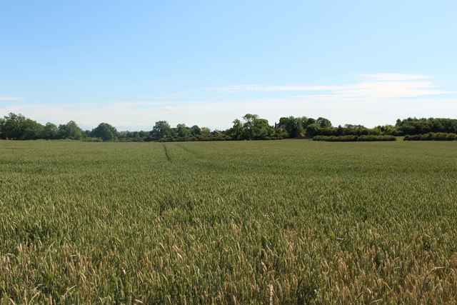
Image: © Graham Robson Taken: 6 Jul 2019
An arable field, in which a crop of wheat is growing, between Woodside Farm and Hall Farm.
Images are licensed for reuse under creativecommons.org/licenses/by-sa/2.0
Image Location
Latitude
54.589201
Longitude
-1.403266