Barrier on Tinsley Road, New Eastwood
Introduction
The photograph on this page of Barrier on Tinsley Road, New Eastwood by Christine Johnstone as part of the Geograph project.
The Geograph project started in 2005 with the aim of publishing, organising and preserving representative images for every square kilometre of Great Britain, Ireland and the Isle of Man.

There are currently over 7.5m images from over 14,400 individuals and you can help contribute to the project by visiting https://www.geograph.org.uk
Barrier on Tinsley Road, New Eastwood
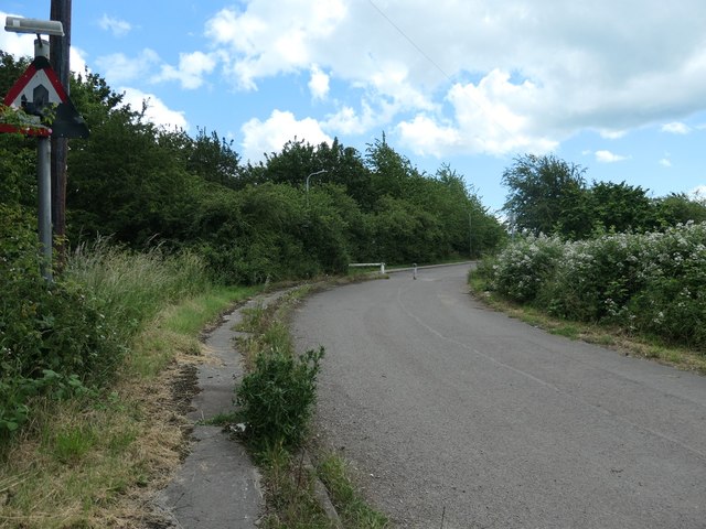
Image: © Christine Johnstone Taken: 21 Jun 2019
Originally this was Bridge Street, with bridges across both the Nottingham and Erewash Canals and a railway. The name probably changed when the A610 was built on the former railway line, and this road bent round slightly to accommodate it.
Images are licensed for reuse under creativecommons.org/licenses/by-sa/2.0
Image Location
Latitude
53.010502
Longitude
-1.31437