Grid across the access road to Bute Town near Rhymney
Introduction
The photograph on this page of Grid across the access road to Bute Town near Rhymney by Jaggery as part of the Geograph project.
The Geograph project started in 2005 with the aim of publishing, organising and preserving representative images for every square kilometre of Great Britain, Ireland and the Isle of Man.

There are currently over 7.5m images from over 14,400 individuals and you can help contribute to the project by visiting https://www.geograph.org.uk
Grid across the access road to Bute Town near Rhymney
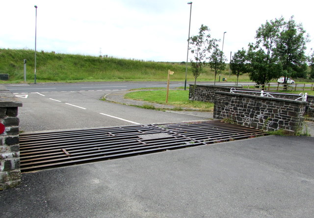
Image: © Jaggery Taken: 11 Jul 2019
The A469 is in the background.
Images are licensed for reuse under creativecommons.org/licenses/by-sa/2.0
Image Location
Latitude
51.773639
Longitude
-3.300446