New houses on Arkwright Walk
Introduction
The photograph on this page of New houses on Arkwright Walk by John Sutton as part of the Geograph project.
The Geograph project started in 2005 with the aim of publishing, organising and preserving representative images for every square kilometre of Great Britain, Ireland and the Isle of Man.

There are currently over 7.5m images from over 14,400 individuals and you can help contribute to the project by visiting https://www.geograph.org.uk
New houses on Arkwright Walk
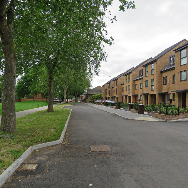
Image: © John Sutton Taken: 1 Jul 2019
Much of the Victorian Meadows district was demolished in the 1970s, new houses built and the street pattern altered. The pedestrianised Arkwright Walk was once one of two main routes south from the city centre to Trent Bridge, lined with shops and busy with cars, lorries, buses and trolleybuses. Now some of the 1970s houses are being replaced. These pictures - taken elsewhere on Arkwright Walk - give an idea of the houses which are being replaced: Image] Image] Image] (Stephen McKay)
Images are licensed for reuse under creativecommons.org/licenses/by-sa/2.0
Image Location
Latitude
52.942785
Longitude
-1.143862