Clock tower, Nantymoel
Introduction
The photograph on this page of Clock tower, Nantymoel by Alan Hughes as part of the Geograph project.
The Geograph project started in 2005 with the aim of publishing, organising and preserving representative images for every square kilometre of Great Britain, Ireland and the Isle of Man.

There are currently over 7.5m images from over 14,400 individuals and you can help contribute to the project by visiting https://www.geograph.org.uk
Clock tower, Nantymoel
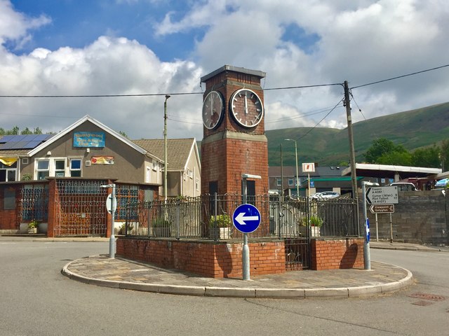
Image: © Alan Hughes Taken: 10 Jul 2019
The clock tower stands on the A4061 in Nantymoel, where the road turns sharply uphill towards Treorchy. A war memorial, it was unveiled in September 1955.
Images are licensed for reuse under creativecommons.org/licenses/by-sa/2.0
Image Location
Latitude
51.619543
Longitude
-3.536688