The Former Plough
Introduction
The photograph on this page of The Former Plough by Stewart Marsh as part of the Geograph project.
The Geograph project started in 2005 with the aim of publishing, organising and preserving representative images for every square kilometre of Great Britain, Ireland and the Isle of Man.

There are currently over 7.5m images from over 14,400 individuals and you can help contribute to the project by visiting https://www.geograph.org.uk
The Former Plough
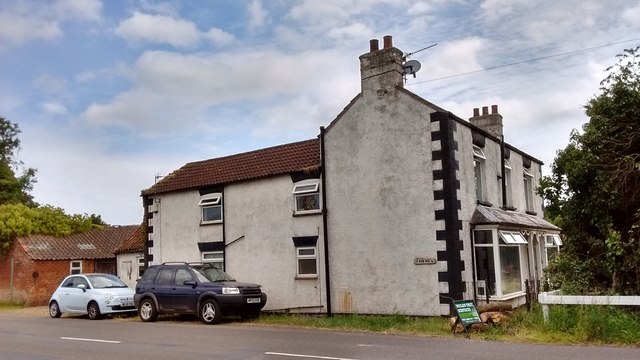
Image: © Stewart Marsh Taken: 8 Jul 2019
The Plough had served its last pint by the 1930s
Images are licensed for reuse under creativecommons.org/licenses/by-sa/2.0
Image Location


Leaflet Map data © OpenStreetMap
Latitude
53.366579
Longitude
0.095825