Tram Road, Rye Harbour
Introduction
The photograph on this page of Tram Road, Rye Harbour by Simon Carey as part of the Geograph project.
The Geograph project started in 2005 with the aim of publishing, organising and preserving representative images for every square kilometre of Great Britain, Ireland and the Isle of Man.

There are currently over 7.5m images from over 14,400 individuals and you can help contribute to the project by visiting https://www.geograph.org.uk
Tram Road, Rye Harbour
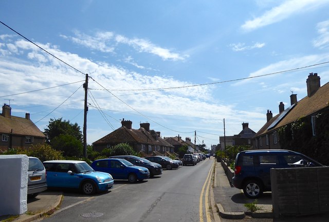
Image: © Simon Carey Taken: 6 Jul 2019
A cul de sac off Harbour Road that was originally a small tramline that connected a concrete works to the Rye Harbour branch railway. Marked on the 1872 OS map the rails had been lifted by the time of the following 1898 edition with the first houses appearing on the 1909 version.
Images are licensed for reuse under creativecommons.org/licenses/by-sa/2.0
Image Location
Latitude
50.936887
Longitude
0.760606