Upper Nook
Introduction
The photograph on this page of Upper Nook by Simon Carey as part of the Geograph project.
The Geograph project started in 2005 with the aim of publishing, organising and preserving representative images for every square kilometre of Great Britain, Ireland and the Isle of Man.

There are currently over 7.5m images from over 14,400 individuals and you can help contribute to the project by visiting https://www.geograph.org.uk
Upper Nook
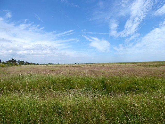
Image: © Simon Carey Taken: 6 Jul 2019
The name of the field according to Icklesham's 1845 tithe map that is located to the south of The Ridge. The nook was a former creek that had been formed between shingle ridges.
Images are licensed for reuse under creativecommons.org/licenses/by-sa/2.0
Image Location
Latitude
50.917576
Longitude
0.732712