Ploughed Farmland near Banks
Introduction
The photograph on this page of Ploughed Farmland near Banks by David Dixon as part of the Geograph project.
The Geograph project started in 2005 with the aim of publishing, organising and preserving representative images for every square kilometre of Great Britain, Ireland and the Isle of Man.

There are currently over 7.5m images from over 14,400 individuals and you can help contribute to the project by visiting https://www.geograph.org.uk
Ploughed Farmland near Banks
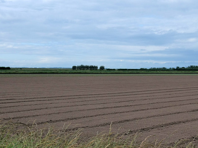
Image: © David Dixon Taken: 30 Jun 2019
Tarleton mosses is an area of reclaimed mossland that stretches along the coastal plain from the Ribble Estuary in the north to the A565 in the south. It is a market gardening area with many glass houses. The farms and smallholdings have exploited the rich peat deposits. Beyond the smallholdings and greenhouses are arable fields.
Images are licensed for reuse under creativecommons.org/licenses/by-sa/2.0
Image Location


Leaflet Map data © OpenStreetMap
Latitude
53.691298
Longitude
-2.916148