Restricted byway near Lenton Pasture
Introduction
The photograph on this page of Restricted byway near Lenton Pasture by Jonathan Thacker as part of the Geograph project.
The Geograph project started in 2005 with the aim of publishing, organising and preserving representative images for every square kilometre of Great Britain, Ireland and the Isle of Man.

There are currently over 7.5m images from over 14,400 individuals and you can help contribute to the project by visiting https://www.geograph.org.uk
Restricted byway near Lenton Pasture
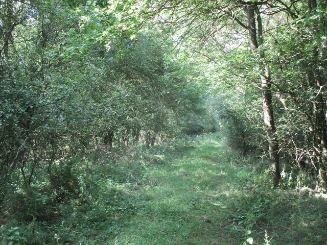
Image: © Jonathan Thacker Taken: 5 Jul 2019
This hardly seems the same lane as in Image It only goes to show what a few years neglect can do.
Images are licensed for reuse under creativecommons.org/licenses/by-sa/2.0
Image Location
Latitude
52.872819
Longitude
-0.449158