Beech Grove at Blackhall Mill
Introduction
The photograph on this page of Beech Grove at Blackhall Mill by Robert Graham as part of the Geograph project.
The Geograph project started in 2005 with the aim of publishing, organising and preserving representative images for every square kilometre of Great Britain, Ireland and the Isle of Man.

There are currently over 7.5m images from over 14,400 individuals and you can help contribute to the project by visiting https://www.geograph.org.uk
Beech Grove at Blackhall Mill
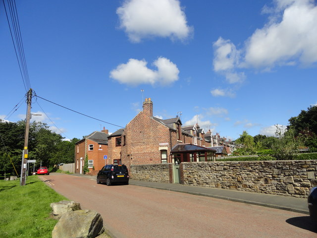
Image: © Robert Graham Taken: 21 Jun 2019
Blackhall Mill is a C19 mining village, with the pits long gone of course. This C19 street, and its neighbour, Fife Terrace, were miners houses originally. The colliery was a short distance to the west. They now form the western edge of the village.
Images are licensed for reuse under creativecommons.org/licenses/by-sa/2.0
Image Location
Latitude
54.906325
Longitude
-1.820304