On the Footpath to Steeton Hall
Introduction
The photograph on this page of On the Footpath to Steeton Hall by Chris Heaton as part of the Geograph project.
The Geograph project started in 2005 with the aim of publishing, organising and preserving representative images for every square kilometre of Great Britain, Ireland and the Isle of Man.

There are currently over 7.5m images from over 14,400 individuals and you can help contribute to the project by visiting https://www.geograph.org.uk
On the Footpath to Steeton Hall
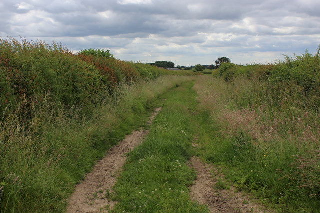
Image: © Chris Heaton Taken: 30 Jun 2019
This is part of the footpath from the former Wild Man Inn on the A64, running south to Steeton Hall. It is the only section that is walkable. The rest of the path is hemmed tight against a hedge with an ankle breaking drop on one side and two fields thick with rapeseed - the public right of way completely obliterated under shoulder high vegetation
Images are licensed for reuse under creativecommons.org/licenses/by-sa/2.0
Image Location


Leaflet Map data © OpenStreetMap
Latitude
53.897404
Longitude
-1.196913