Westlington Farm, Dinton
Introduction
The photograph on this page of Westlington Farm, Dinton by Rob Farrow as part of the Geograph project.
The Geograph project started in 2005 with the aim of publishing, organising and preserving representative images for every square kilometre of Great Britain, Ireland and the Isle of Man.

There are currently over 7.5m images from over 14,400 individuals and you can help contribute to the project by visiting https://www.geograph.org.uk
Westlington Farm, Dinton
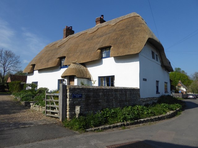
Image: © Rob Farrow Taken: 20 Apr 2019
Slightly confusingly, Westlington Farmhouse is situated in the village of Dinton rather than in the adjoining hamlet of Westlington. The farmhouse dates from the C17th & C18th and is EH Grade II listed https://historicengland.org.uk/listing/the-list/list-entry/1311252
Images are licensed for reuse under creativecommons.org/licenses/by-sa/2.0
Image Location
Latitude
51.789847
Longitude
-0.894586