Path to Woodlands Grove
Introduction
The photograph on this page of Path to Woodlands Grove by DS Pugh as part of the Geograph project.
The Geograph project started in 2005 with the aim of publishing, organising and preserving representative images for every square kilometre of Great Britain, Ireland and the Isle of Man.

There are currently over 7.5m images from over 14,400 individuals and you can help contribute to the project by visiting https://www.geograph.org.uk
Path to Woodlands Grove
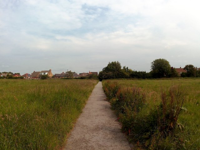
Image: © DS Pugh Taken: 23 Jun 2019
Connecting from Malton Road over Monk Stray.
Images are licensed for reuse under creativecommons.org/licenses/by-sa/2.0
Image Location
Latitude
53.975212
Longitude
-1.056978