Bowbridge Farm
Introduction
The photograph on this page of Bowbridge Farm by Chris Heaton as part of the Geograph project.
The Geograph project started in 2005 with the aim of publishing, organising and preserving representative images for every square kilometre of Great Britain, Ireland and the Isle of Man.

There are currently over 7.5m images from over 14,400 individuals and you can help contribute to the project by visiting https://www.geograph.org.uk
Bowbridge Farm
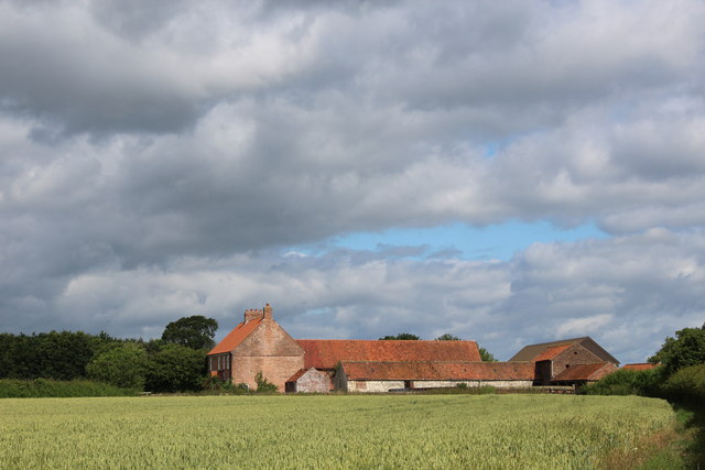
Image: © Chris Heaton Taken: 30 Jun 2019
Pleasant old red brick buildings as seen from the south. The other side of these buildings is the busy A64 dual carriageway between Leeds and York - concealed from view at this point, but very much audible to the ear.
Images are licensed for reuse under creativecommons.org/licenses/by-sa/2.0
Image Location


Leaflet Map data © OpenStreetMap
Latitude
53.890537
Longitude
-1.218651