Standing Way, Milton Keynes
Introduction
The photograph on this page of Standing Way, Milton Keynes by David Howard as part of the Geograph project.
The Geograph project started in 2005 with the aim of publishing, organising and preserving representative images for every square kilometre of Great Britain, Ireland and the Isle of Man.

There are currently over 7.5m images from over 14,400 individuals and you can help contribute to the project by visiting https://www.geograph.org.uk
Standing Way, Milton Keynes
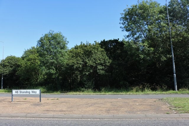
Image: © David Howard Taken: 29 Jun 2019
H8 stands for horizontal, with the verticals V. Milton Keynes is supposed to be built on a grid system but anyone from abroad who is familiar with actual grid systems will see this is being stretched when applied to here.
Images are licensed for reuse under creativecommons.org/licenses/by-sa/2.0
Image Location
Latitude
52.025399
Longitude
-0.732106