Osborne Street and Parnie Street
Introduction
The photograph on this page of Osborne Street and Parnie Street by Mark Anderson as part of the Geograph project.
The Geograph project started in 2005 with the aim of publishing, organising and preserving representative images for every square kilometre of Great Britain, Ireland and the Isle of Man.

There are currently over 7.5m images from over 14,400 individuals and you can help contribute to the project by visiting https://www.geograph.org.uk
Osborne Street and Parnie Street
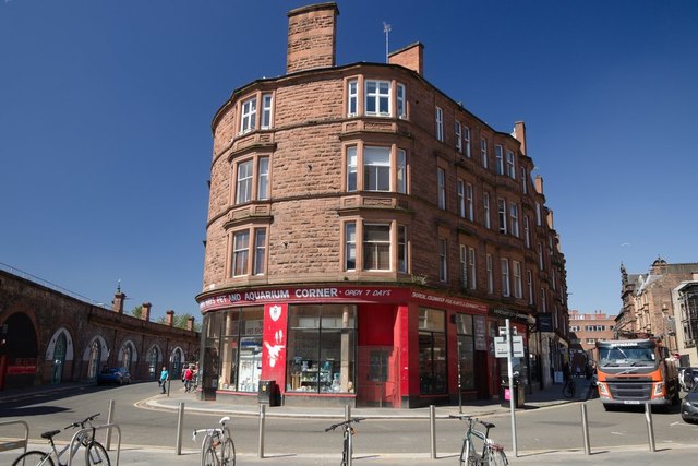
Image: © Mark Anderson Taken: 27 Jun 2019
Maps from the late 19th century show this as open space called Saltmarket Junction. By the early 20th century, the building in the foreground had been built and the roads either side came together in a junction with Saltmarket. Now the junction has been blocked off and the two roads meet in the middle of this sharp bend.
Images are licensed for reuse under creativecommons.org/licenses/by-sa/2.0
Image Location
Latitude
55.855962
Longitude
-4.245343