The road to Waterside and Waverton
Introduction
The photograph on this page of The road to Waterside and Waverton by David Purchase as part of the Geograph project.
The Geograph project started in 2005 with the aim of publishing, organising and preserving representative images for every square kilometre of Great Britain, Ireland and the Isle of Man.

There are currently over 7.5m images from over 14,400 individuals and you can help contribute to the project by visiting https://www.geograph.org.uk
The road to Waterside and Waverton
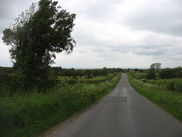
Image: © David Purchase Taken: 4 Jun 2019
A minor road which broadly follows (though is not always close to) the River Waver.
Images are licensed for reuse under creativecommons.org/licenses/by-sa/2.0
Image Location
Latitude
54.787617
Longitude
-3.203583