Beside a woodland path, Lower Docharty
Introduction
The photograph on this page of Beside a woodland path, Lower Docharty by Julian Paren as part of the Geograph project.
The Geograph project started in 2005 with the aim of publishing, organising and preserving representative images for every square kilometre of Great Britain, Ireland and the Isle of Man.

There are currently over 7.5m images from over 14,400 individuals and you can help contribute to the project by visiting https://www.geograph.org.uk
Beside a woodland path, Lower Docharty
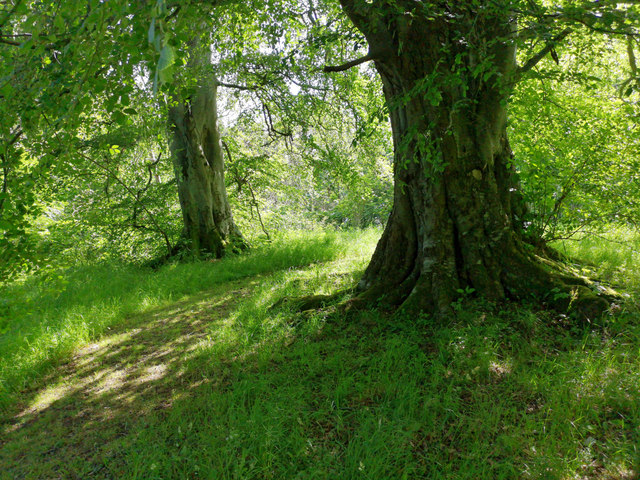
Image: © Julian Paren Taken: 28 Jun 2019
By a connecting footpath to the Round Dingwall walking route.
Images are licensed for reuse under creativecommons.org/licenses/by-sa/2.0
Image Location
Latitude
57.608044
Longitude
-4.443258