Serried Ranks
Introduction
The photograph on this page of Serried Ranks by Anne Burgess as part of the Geograph project.
The Geograph project started in 2005 with the aim of publishing, organising and preserving representative images for every square kilometre of Great Britain, Ireland and the Isle of Man.

There are currently over 7.5m images from over 14,400 individuals and you can help contribute to the project by visiting https://www.geograph.org.uk
Serried Ranks
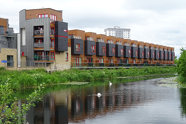
Image: © Anne Burgess Taken: 25 Jun 2019
This is the extension of Image], and I found it disappointingly repetitive compared with the more interesting part in the first photograph.
Images are licensed for reuse under creativecommons.org/licenses/by-sa/2.0
Image Location
Latitude
55.89154
Longitude
-4.294739