Crickley Hill direction and distance sign, Shurdington
Introduction
The photograph on this page of Crickley Hill direction and distance sign, Shurdington by Jaggery as part of the Geograph project.
The Geograph project started in 2005 with the aim of publishing, organising and preserving representative images for every square kilometre of Great Britain, Ireland and the Isle of Man.

There are currently over 7.5m images from over 14,400 individuals and you can help contribute to the project by visiting https://www.geograph.org.uk
Crickley Hill direction and distance sign, Shurdington
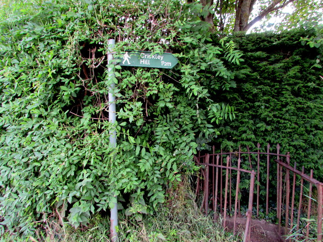
Image: © Jaggery Taken: 23 Jun 2019
The sign alongside the A46 in the south of Shurdington points towards a public footpath https://www.geograph.org.uk/photo/6193594 to Crickley Hill a mile and a half away.
Images are licensed for reuse under creativecommons.org/licenses/by-sa/2.0
Image Location


Leaflet Map data © OpenStreetMap
Latitude
51.86061
Longitude
-2.122366