Millers Road (1)
Introduction
The photograph on this page of Millers Road (1) by Simon Carey as part of the Geograph project.
The Geograph project started in 2005 with the aim of publishing, organising and preserving representative images for every square kilometre of Great Britain, Ireland and the Isle of Man.

There are currently over 7.5m images from over 14,400 individuals and you can help contribute to the project by visiting https://www.geograph.org.uk
Millers Road (1)
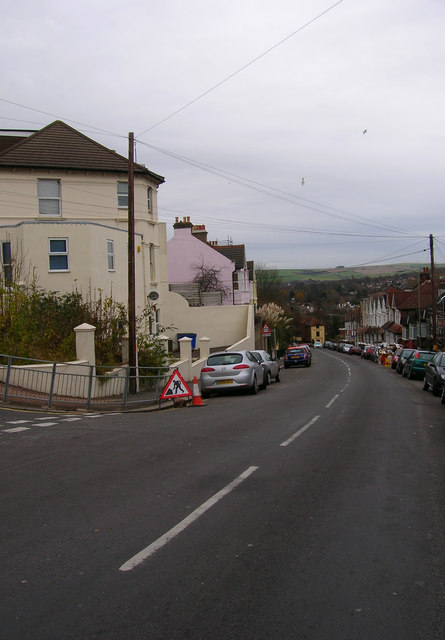
Image: © Simon Carey Taken: 24 Nov 2007
Taken from the junction with Compton Road looking down the road with the South Downs on the horizon. An old mill stood on the peak of the hill near Dyke Road and the route would have been used to connect the mill with Preston village.
Images are licensed for reuse under creativecommons.org/licenses/by-sa/2.0
Image Location
Latitude
50.8408
Longitude
-0.153595