Land adjacent to Southease, Derringstone Hill
Introduction
The photograph on this page of Land adjacent to Southease, Derringstone Hill by John Baker as part of the Geograph project.
The Geograph project started in 2005 with the aim of publishing, organising and preserving representative images for every square kilometre of Great Britain, Ireland and the Isle of Man.

There are currently over 7.5m images from over 14,400 individuals and you can help contribute to the project by visiting https://www.geograph.org.uk
Land adjacent to Southease, Derringstone Hill
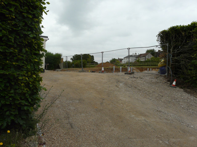
Image: © John Baker Taken: 4 Jun 2019
Planning permission has been granted by Canterbury City Council under application number CA//17/02393 for a “proposed detached two-storey dwelling and garage”. A small portion of the house called Southease is visible on the left.
Images are licensed for reuse under creativecommons.org/licenses/by-sa/2.0
Image Location
Latitude
51.198933
Longitude
1.157059