Field west of Badworthy
Introduction
The photograph on this page of Field west of Badworthy by Derek Harper as part of the Geograph project.
The Geograph project started in 2005 with the aim of publishing, organising and preserving representative images for every square kilometre of Great Britain, Ireland and the Isle of Man.

There are currently over 7.5m images from over 14,400 individuals and you can help contribute to the project by visiting https://www.geograph.org.uk
Field west of Badworthy
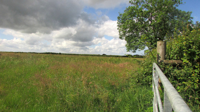
Image: © Derek Harper Taken: 21 Jun 2019
A similar field to the one on the other side of the lane shown in Image The lane is on the right behind the hedge - in fact, that's the same tree as in Image
Images are licensed for reuse under creativecommons.org/licenses/by-sa/2.0
Image Location
Latitude
50.889841
Longitude
-4.206843